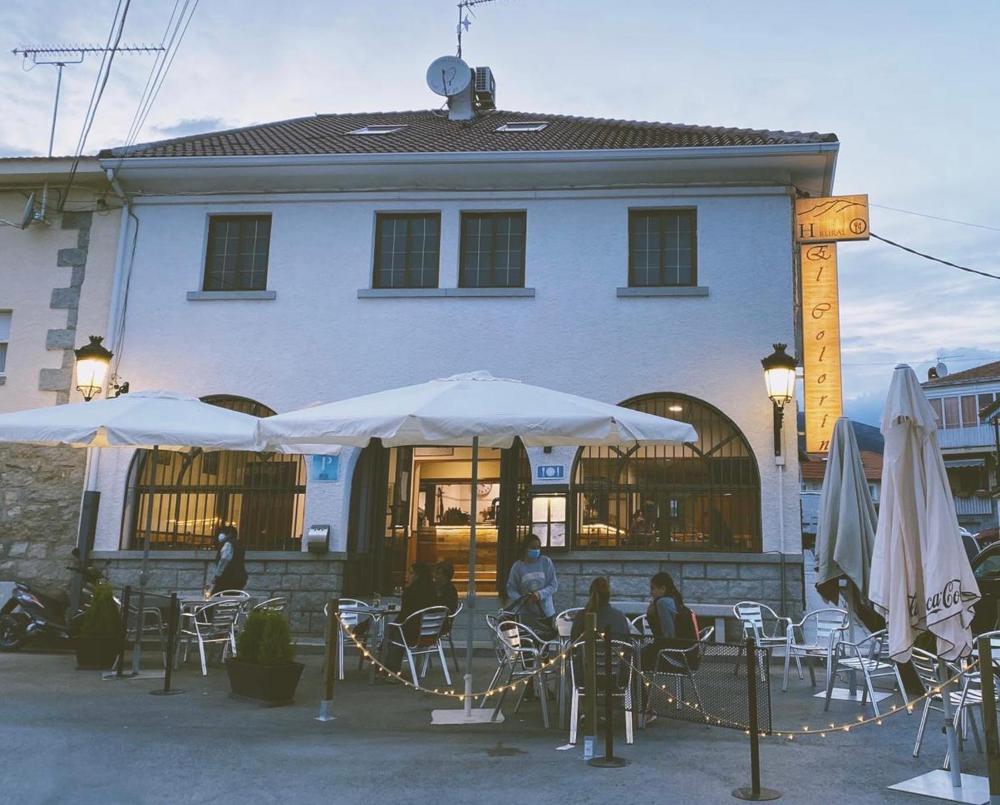
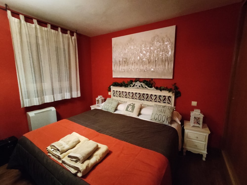
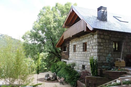
3 stages, 3 places to sleep
Open a stage to see what you pass and where to stay that night.
Planning the Guadarrama Grand Tour — the practical guide
The Guadarrama Grand Tour covers 175 km from Madrid to Manzanares el Real in 3 stages averaging 58 km. The longest day is stage 3 (90 km, ending in Manzanares el Real); the gentlest is stage 2 at 30 km into Cercedilla. You drive it in the order written, but every stage town works as an entry or exit point, so the route sections cleanly for shorter trips.
Overnights run San Lorenzo de El Escorial, Cercedilla, Manzanares el Real — each bookable from the stage cards above. Book the smallest stops first: a village with a handful of guesthouses sells out weeks before a resort with fifty.
Planning & pacing
The region’s road trips are short on kilometres and long on stops — the whole point is that nothing is more than an hour from anything. Plan around lunch, not driving: the pueblos’ kitchens (Chinchón’s asadores, Rascafría’s trout houses) run 13:30–16:00 and the towns go quiet at siesta, which is exactly when you want to be on the prettiest road sections.
Book the small overnights first: Patones and Chinchón hold a few dozen beds between them and weekend demand from Madrid is relentless. Midweek, the same rooms cost noticeably less and the plazas at dusk are yours alone.
When to go
Spring (April–June) is the glory window — green vega, snow still on the high sierra, roads full of cyclists on Sunday mornings. Autumn runs it close, with the Lozoya valley’s leaf turn peaking late October.
Summer works with structure: drive early, swim or siesta through the afternoon heat, and take the evening in the plazas. Winter days are short but the roads are empty and the sierra villages under snow are the region’s best-kept postcard — carry chains for the passes when the forecast says so.
What to pack
Nothing exotic: comfortable shoes for cobbled pueblos, a warm layer for the passes (the Morcuera and Navacerrada run 8–10°C below the city at any season), sun cover, and swimwear in summer for the river pools.
Cash still helps in the smallest villages, and a cool bag pays for itself the first time you buy Villaconejos melons or Chinchón anís from the source.
Transport & logistics
Rental cars are cheap out of Madrid (airport pickups are cheapest; Atocha is most convenient). All three loops are tolls-free as written. Fuel up before the Sierra Norte stage — stations thin out north of Torrelaguna.
Parking is the only friction: park below Patones de Arriba (pedestrian village), outside Chinchón’s plaza ring, and at the marked lots in San Lorenzo. Every overnight town here has free peripheral parking within a ten-minute walk of the hotels.
Eating along the route
The loops are built around tables: Chinchón’s wood-oven cordero on the plaza, Aranjuez’s asparagus-and-strawberry menus in season, trout and judiones in the Lozoya valley, and the roadside ventas that still do a €13 menú for whoever walks in. Lunch is the day’s anchor — book the famous houses or arrive at 13:30 sharp.
Buy the produce where it grows: Villaconejos melons, Aranjuez strawberries from the roadside stalls, Chinchón garlic and anís, honey in the Sierra Norte villages. The region’s best souvenirs are all edible.
Safety & local rules
Spanish enforcement is camera-based and humourless about speed and phones; limits drop hard through the pueblos (often to 30 km/h) and the fines find rental drivers by post. Breathalyser threshold is lower than the UK/US — treat lunch wine as the passenger’s privilege.
Mountain passes post closures and chain requirements in real time on the DGT map. Deer and boar cross the Sierra Norte roads at dusk — the region’s one genuine driving hazard.
The Guadarrama Grand Tour: questions, answered
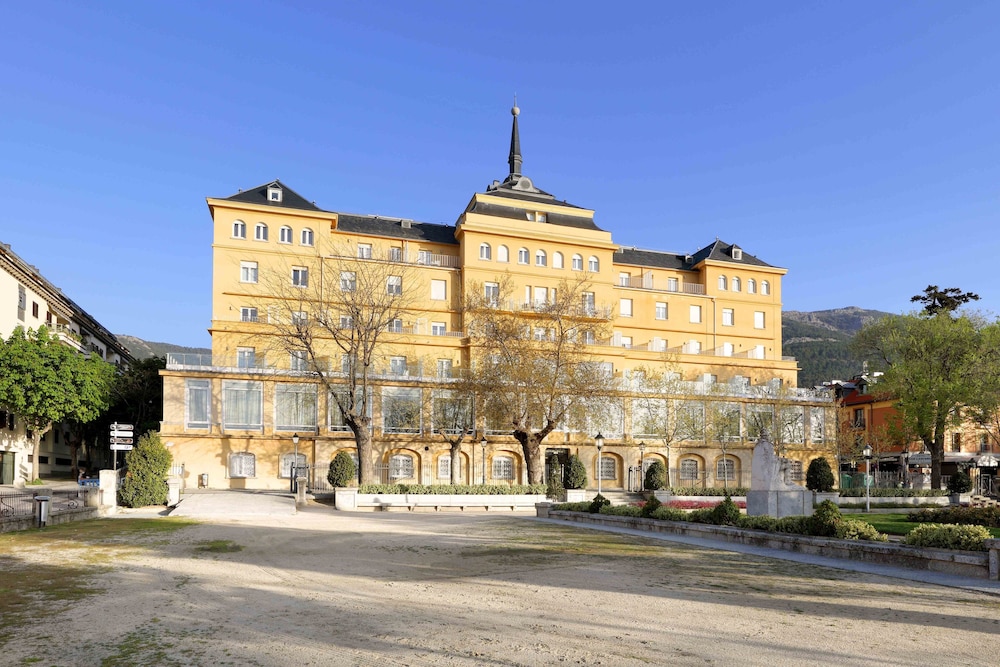
Hoteles en la ruta
Ver todos los alojamientos →Selecciones curadas en camino — mientras tanto, la búsqueda en vivo cubre todos los alojamientos al mismo precio o mejor.