1 stage, 1 place to sleep
Open a stage to see what you pass and where to stay that night.

Planning the La Pedriza & the Yelmo — the practical guide
The La Pedriza & the Yelmo covers 12 km from Manzanares el Real to Manzanares el Real in a single stage. It is designed as one committed day — start early and let the terminus town absorb the evening. You walk it in the order written, but every stage town works as an entry or exit point, so the route sections cleanly for shorter trips.
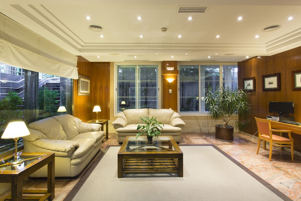
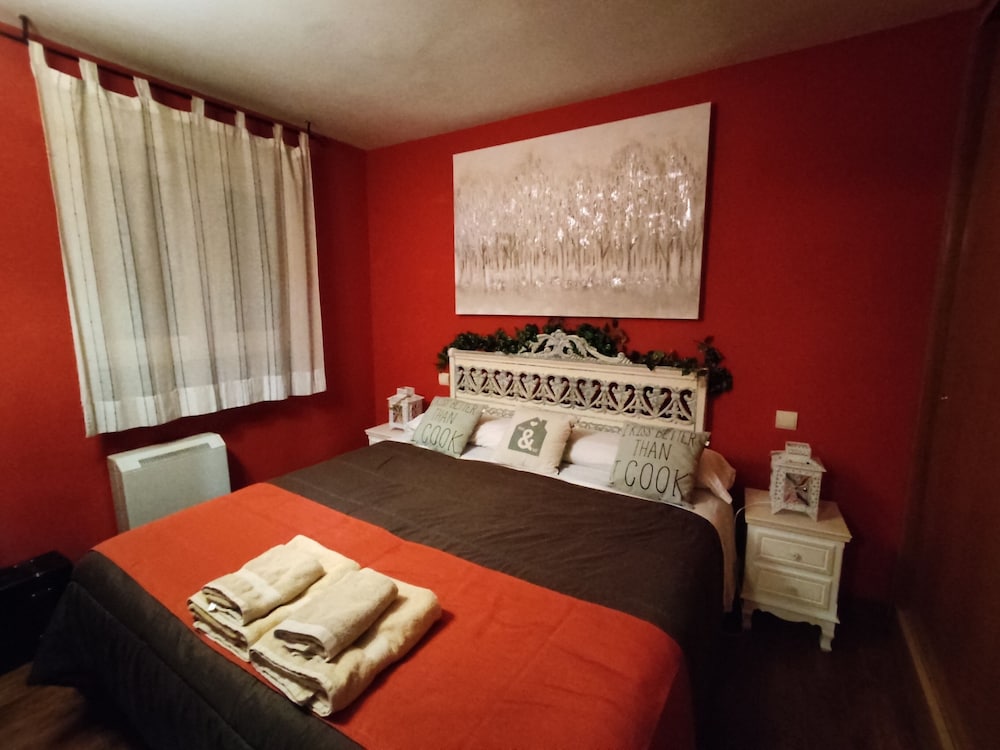
Overnights run Manzanares el Real — each bookable from the stage cards above. Book the smallest stops first: a village with a handful of guesthouses sells out weeks before a resort with fifty.
Planning & pacing
Guadarrama distances read short but the terrain is honest: granite paths, 500–900 m days of ascent, and afternoon storm build-up in summer. Start early — the mountain rewards 8am starts with empty trails and punishes 1pm starts with heat and thunderheads.
Every route here ends in a town with beds, which changes the game versus day-tripping from Madrid: you walk the best hours, eat where the trail ends, and take the morning train home. Book sierra weekends ahead in October (leaf season) and on any forecast-perfect winter Saturday.
When to go
May–June and September–October are prime: stable weather, running streams, bearable sun. High summer works with dawn starts; the pine valleys (Fuenfría, Schmidt) stay shaded and pleasant even in July.
Winter transforms everything above 1,800 m into mountaineering terrain — Peñalara and the Cuerda Larga need crampons, ice axe and the skills to use them, and the park posts avalanche bulletins for good reason. The valley walks (Purgatorio, the Roman road’s lower half) remain walkable and gorgeous under snow.
What to pack
Boots or serious trail shoes (the granite is ankle-testing), two litres of water minimum (the high routes are dry), sun cream and a hat (the meseta sun bites at altitude), plus a shell — the wind on the crests is real even in June.
In winter add the full kit above the treeline. Phone coverage is decent on the ridges, patchy in the valleys; download offline maps — the park’s signage is good but junctions multiply in the pine forest.
Transport & logistics
Access is the sierra’s superpower: the C-8 to Cercedilla, the C-9 up to Navacerrada pass and Cotos, and the 691/724 buses to Navacerrada village and Manzanares. Point-to-point routes (Schmidt, Cuerda Larga) work without any car shuttling — rails at both ends.
La Pedriza is the exception: its internal road gate closes when the small car park fills, most weekend mornings by 9:30. Sleep in Manzanares el Real and walk in, or use the weekend shuttle when it runs.
Eating along the route
The sierra towns feed walkers properly: enormous breakfasts at the station cafés in Cercedilla, mountain menús (judiones, roast meats, flan) in Navacerrada, trout in Rascafría. Trail food is the one gap — buy bocadillos and fruit in town before you start; there is nothing on the mountain.
The post-walk institution is the merienda-turned-dinner at the trailhead bar — calamares and cañas among boots and poles. Every route here ends within 200 m of one.
Safety & local rules
112 works everywhere and the Guardia Civil’s mountain unit (GREIM) is superb — but the Guadarrama’s reputation for gentleness causes more rescues than its terrain: heat, dry ridges and afternoon storms catch the unprepared. Water, sun cover, early starts.
Above the treeline, weather turns in minutes at any season. If cloud drops on the Cuerda Larga, descend by the nearest marked col rather than pressing along the crest — every col has a valley path to a road.
La Pedriza & the Yelmo: questions, answered
Hotels along this route
See all stays →Curated picks are coming — meanwhile, the live search covers every bookable property at the same price or better.